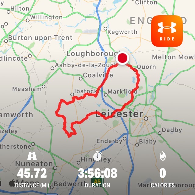
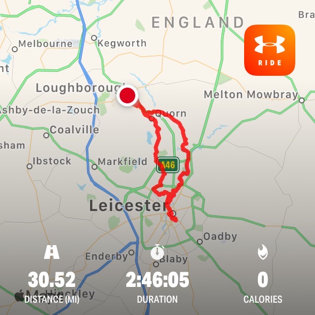
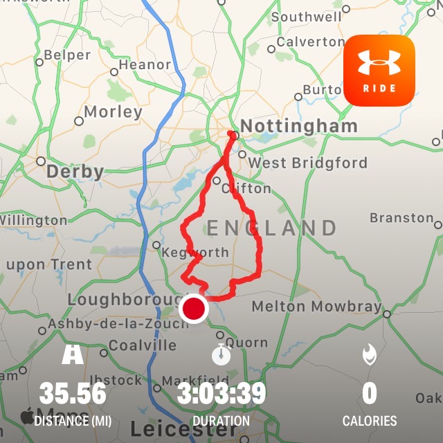
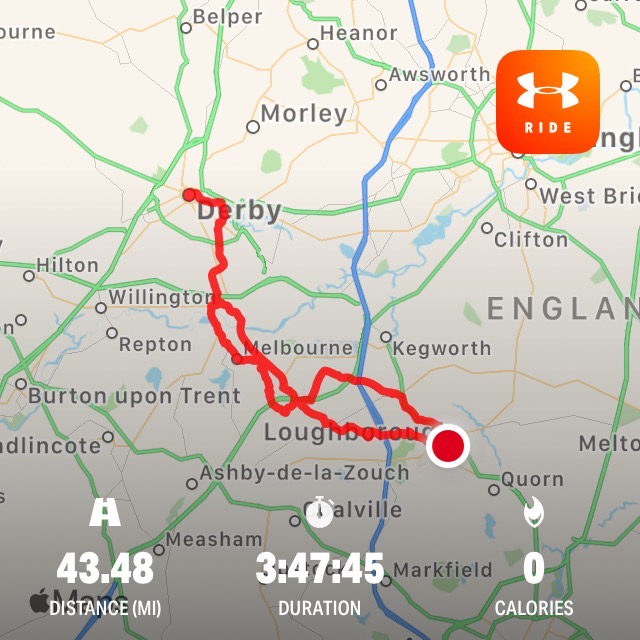
Cycling round Loughborough
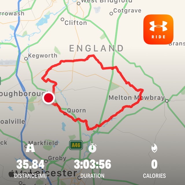
First things first. The London Marathon was cancelled this year meaning than many charities will suffer.
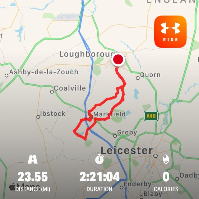
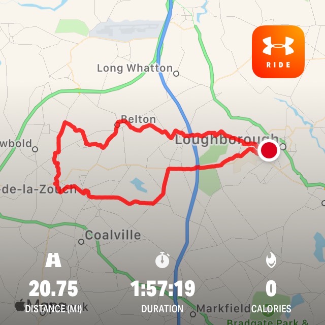
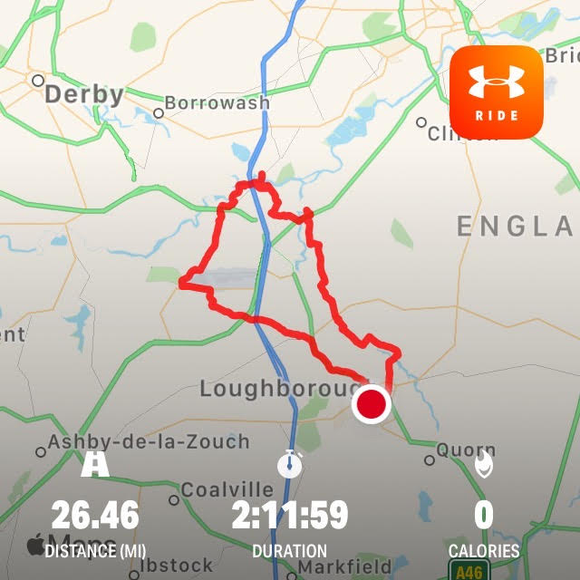
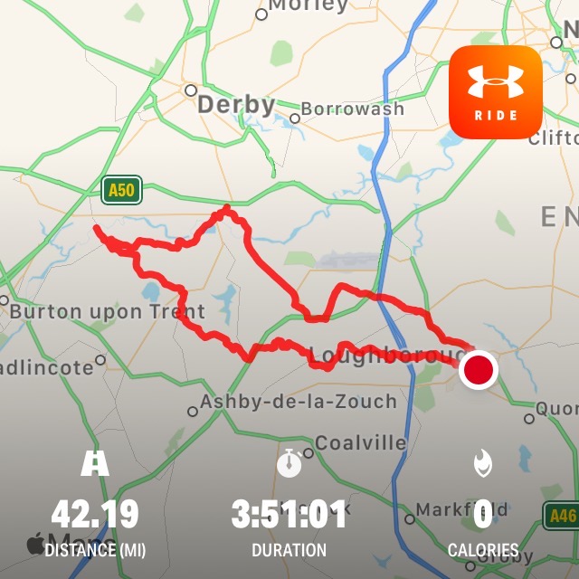
Since one of these rides was almost exactly a Marathon, perhaps you'd like to make a donation by clicking the
2.6 Challenge Charity.
See more details of the charity.
|
Fourteen years ago I joined a group of friends to cycle round the edge of Leicestershire.
We had to get as close to the county boundary as possible without straying into a neighbouring county.
I described it in Tour de Leicestershire
This year I challenged myself to a personal Tour in sixteen stages with plenty of rest days.
It would start from home going to every district in the County and and two neighbouring counties.
It was low-tech using OS maps and Sustrans
National Cycle Routes
NCR6 52, 63, 15 and 48 as well as many other lanes favoured by cyclists.
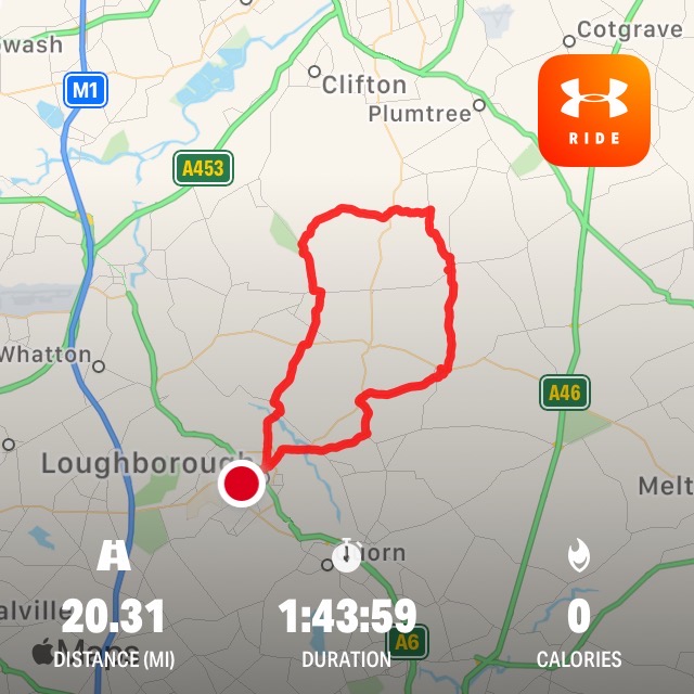
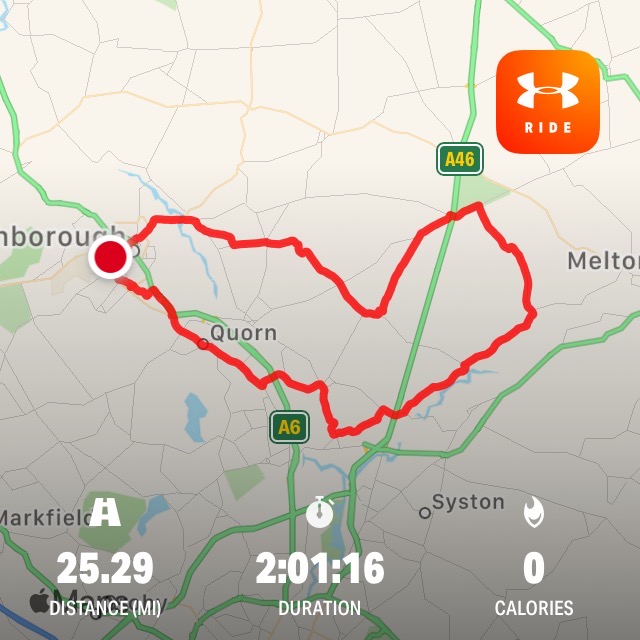
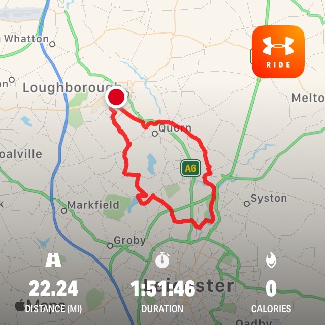
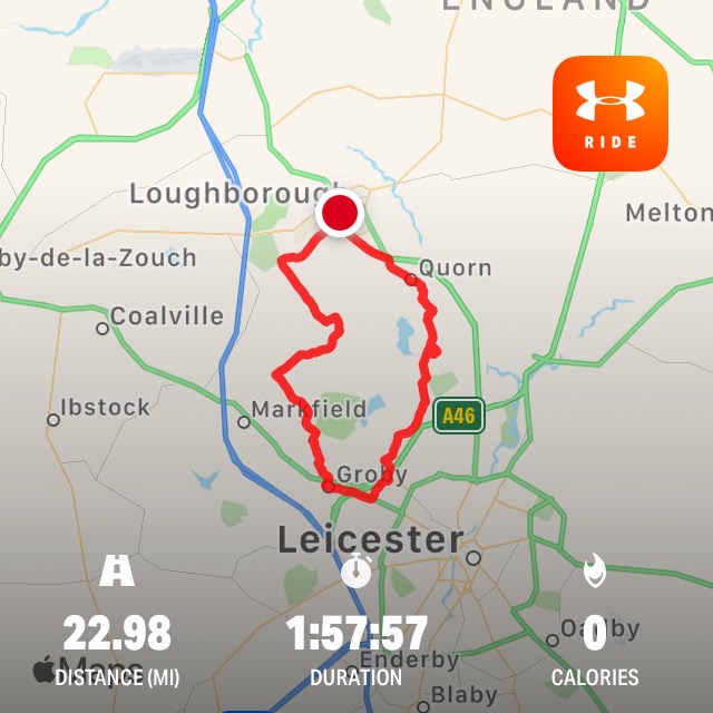
The eight local routes are as different as possible from each other, trying not to repeat too many lanes.
They were ridden in clockwise succession planning for about two hours each or twenty miles for me.
None were very difficult but the mountain stages across Charnwood Forest the most spectacular.
The river basin ones following the river
Trent,
the Soar and the
Wreake were also memorable.
Next were four Stages of double the distance to reach four landmark destinations:
Repton the ancient capital of Mercia, Bosworth Battlefield, Tilton-on-the-Hill in High Leicestershire and Belvoir Castle in the Vale.
The final Stages were to the three East Midlands cities: Leicester, Derby and Nottingham, finishing with a tour of celebration.
|
|
Eight Local Stages
Four Landmark Stages
Three City Stages and a Finale
Eight Local Rides
The Rolling Wolds
Loughborough > Prestwold > Hoton > Wymeswold > Wysall > Bunny > Rushcliffe Halt > East Leake > Stanford on Soar > Loughborough
Cotes Mill, used to be a pub after it ceased being a watermill, and it is also the gateway east through
the Wolds - the name given to the rolling hills from Lincolnshire to Leicestershire .
Apparently the word derives from the old English wald, which means forest in German.
So, from Cotes Mill I took the quiet road to Prestwold and Wymeswold.
The important thing is always to follow country lanes and avoid roads like the A6006 carrying heavy traffic.
Fortunately, by planning ahead, this isn't difficult and, with a bit of inside knowledge.
An obscure and decrepit lane along the Fairham brook completed the circuit to Bunny a village on the main Nottingham road.
The old Great Central Railway runs just past the Gypsum works on the Gotham road (that's Goat-ham in Notts, nothing to do with Batman please).
And there is a station on the road at
Rushcliffe Halt.
A Halt is a small station, named because trains only stopped for passengers on request to the guard.
And trains had to stop on the line preventing other trains passing.
This is one of the stations on the old Great Central Line which is run by volunteers and
will eventually link Leicester and Ruddington (near Nottingham) again.
Arriving at East Leake, I could have taken the route home via West Leake and Sutton Bonington but that was planned
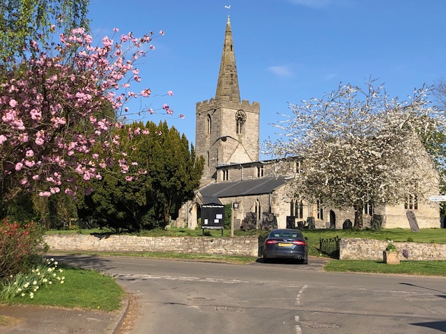
for a future route. So instead, climbing Castle Hill, I reached the perimeter of
Stanford Hall.
This has great memories for me from the days it served as the Co-operative College for education and training with its
theatre and an open-air swimming pool!
It is now somewhat locked down under the MoD as a vastly extended rehabilitation hospital and well prepared for future conflicts.
From there you sweep down to Stanford on Soar,
then over the river Soar and under the Great Central railway into Loughborough.
|
|
From the Wolds to the Wreake
Loughborough > Walton-on-the-Wolds > Seagrave > Six Hills > Ragdale > Hoby >
Thrussington > Ratcliffe-on-the-Wreake > Cossington > Sileby > Mountsorrel > Quorn > Loughborough
This could begin by taking Wymeswold road and the narrow lane past the Leicestershire Wildlife Trust
Wymeswold Meadows
and up to Six Hills. However, a nicer route is to branch off to Walton and Seagrave.
Seagrave is a pretty village and the Berrcott Lane out of Seagrave is also lovely.
Leicester City's huge football training facility is being built at the far end of the village.
Six Hills is on a hill itself so the hills must refer to those climbed to get there.
It has also been a well-known hostelry on the old Watling Street (now known as the A46) crossing the roads that meet there.
My minor road goes under the A46 leading to a fabulous two mile ride down through Ragdale
then high up along and down to Hoby (Hoe-Be)
on the river Wreake.
I then follow the valley on to Thrussington then to Ratcliffe on the Wreake.
There are at least two good tea shops on the route; at Thrussington and the Six Hills Triathlon centre.
from Ratcliffe, its under the A46 before turning left down Humble Lane into Cossington. Then through Sileby and across the river Soar and canal
into Mountsorrel. The Mountsorrel Quarry
which is one of the largest hard rock quarries in
the country. If you visited the Olympic village you were walking on Leicestershire. I return home via Quorn.
|
|
Cutting through Watermead Park
Loughborough > Quorn > Barrow on Soar > Sileby > Cossington > Thurmaston >
Birstall > Leicester > Thurcaston > Cropston > Swithland > Woodhouse > Loughborough
There are a couple of routes into Barrow upon Soar via the Cotes Road or through Quorn.
Once in Barrow I follow the Sileby road past the Gypsum works and Barrow Railhead.
Cycling through Sileby and Cossington villages I take the right turn into Platts Lane to the
Cossington Meadows
This is where I met David Attenborough who opened the wildlife reserve. He was brought up in Leicester and he told
us how he would spend the summer cycling up to Charnwood Forest on wildlife expeditions - nothing changed!
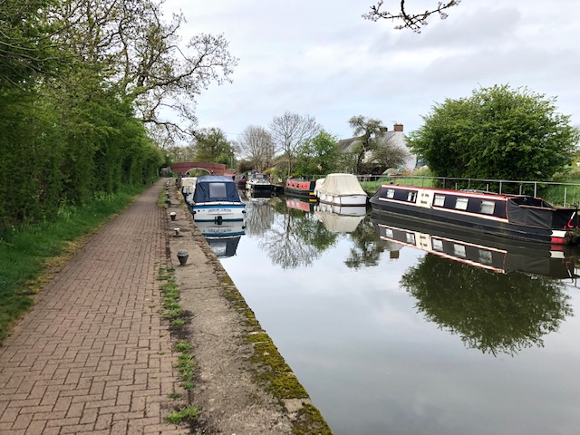
From here you can cycle into the centre of Leicester, some five miles on, entirely off road along waterways through you past a lake on your right, along the canal towpath, intersecting with the river Wreake by way of a bridge outside Syston,
then past King Lear Lake, moorings at Thurmaston and through
Watermead Park
and ultimately into Abbey Park in the city where Cardinal Wolsey met his end and Richard III is now entombed.
The village of Birstall was far enough for me because I wanted to take a route back through Charnwood Forest.
On the way I passed the city's latest new community of Ashton Green and headed back through
Thurcaston. From here there are several routes back to Loughborough.
through past
Cropston Reservoir and Swithland village in forest. From Swithland it's a short ride to Woodhouse and taking the right lane to
Beaumanor
and the off road route to Haddon Way in Loughborough.
|
|
Charnwood Forest Fringe
Loughborough > Quorn > Rothley > Thurcaston > Anstey > Glenfield >
Groby > Newtown Linford > Ulverscroft > Woodhouse Eaves > Loughborough
|
This is a route that I am familiar with as far as Glenfield, home to County Hall but I tried to
add a few extras, by branching off in Rothley, and through Thurcaston rather than Cropston. From Quorn the road
climbs sharply through the granite quarry on Buddon Hill
and frequently we have stopped at the Granita Cafe on the top, which also hosts a small railway branch line rub by volunteers. The next showpiece is
Rothley Station on the Great Central Line, again run by volunteers. Anstey was the home of
Ned Ludd the leader of the machine breakers when the
Framework Knitters were losing work in the towns and villages of Leicestershire.
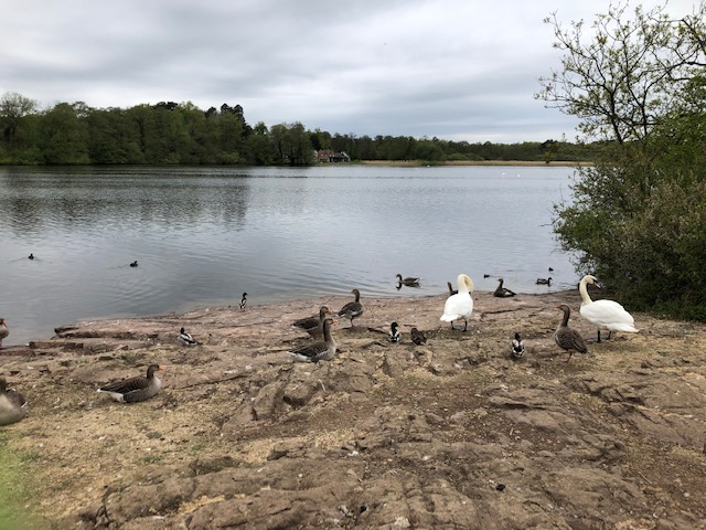
I stopped briefly at the county's largest stretch of natural water to see some well fed ducks at Groby Pool (grew-be) and headed up to Bradgate Park,
home for a while to Lady Jane Grey. The Park is now home to many deer and is frequently visited by all comers and cyclists.
I chose to pass in the direction of Ulverscroft Priory
which is an ancient settlement very much in the heart of the Forest. On the way home from Woodhouse Eaves I resolved to take another detour by climbing up to
the lower entrance to Beacon Hill and home along the hard yards of Breakback Lane to be rewarded with a straight sweep home down Nanpantan Road.
|
|
To Thornton over the Forest
Loughborough > Woodhouse > Swithland Wood > Newtown Linford > Field Head > Thornton > Markfield > Woodhouse Eaves > Beaumanor > Loughborough
Having visited the boroughs of Rushcliffe and Melton and the City of Leicester
I was keen to make my next ride to the Borough of Hinckley and Bosworth.
So I reversed the previous ride past Beaumanor into the Woodhouse
passing up through Swithland Wood up Hunts Hill and passing
Bradgate Park.
Taking a moment to catch my breath I swept down Sharply Hill towards Newtown Linford.
On entering the village take a right into Markfield Lane
taking another sharp climb up to Field Head. Field Head is one of the high points of Charnwood Forest and
leads down to the village of Thornton
and
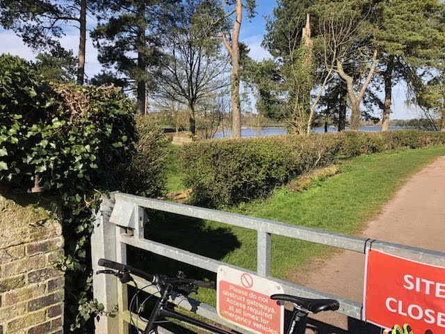
Thornton Reservoir.
The ride along the barrage has fine views over the water and rises steeply up to the village itself.
From Thornton it is back to the forest either through Markfield village or via the
Altar stones.
There are many several outcrops of volcanic rock like these across the forest in this area of the county.
Having crossed the bridge over the A50 I take the first right down Priory Lane.
This is another one of those challenging lanes through Charnwood Forest but we are high up and the tendency is downhill.
The lane passes the National Trust property of Stoneywell Cottage
and ultimately emerges at the B5335 Benscliffe Road which should be crossed with great care.
A little further down Joe Moores Lane I turn left
up and then down Maplewell Road into Woodhouse Eaves. From there I sweep down to Woodhouse and Beaumanor.
|
|
The Industrial Heart of Charnwood
Loughborough > Shepshed > Whitwick > Swannington > Hough Windmill > Griffydam > Osgathorpe > Belton > Shepshed > Loughborough
This route starts on the A512 Ashby Road which has a good cycleway on the Shepshed bound side.
I climb Iveshead Road passing Iveshead itself -
another high point in the Charnwood Forest. Descending very sharply down to the Black brook,
the road then sweeps sharply up with Mount Saint Bernards Abbey in sight along Oaks Road.
The Abbey and its small shop make a good break but before that St Josephs Tea Shop serves many a cyclist.
The road continues a dramatic volcanic outcrop of Sharpley Rocks on the right and Warren Hills on the left.
Spinning down the hill past the Man within Compass into Whitwick (Wit-ik).
I take the Talbot Lane and Jeffcoats Lane into Swannington. This area around
Swannington and Whitwick is rich
industrial history.
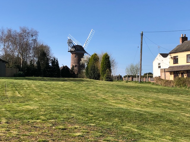
At the top of St Georges Hill I stopped for a quick photo of the lovingly restored
Hough Windmill.
The small village of Griffydam is
perched on the side of a hill opposite and I take the high road to the former mining village of Worthington
and a right turn for about half a mile to lovely
Osgathorpe.
Then to the main square in Belton village before taking
the Route 6 Garendon Way up to Shepshed and on to Thorpe Acre in Loughborough.
|
|
From Garendon Park to Melbourne Park
Loughborough > Garendon Park > Shepshed > Belton > Breedon on the Hill > Wilson > Melbourne > Tonge > Diseworth > Long Whatton > Hathern > Loughborough
As I head towards Melbourne in Derbyshire I've almost completed by clockwise tour.
From home I take the national cycle route through
Garendon Park
to Shepshed down a narrow lane to the village of Belton.
Then I take Breedon Road north before switching in the direction of
Worthington to pass Cloud Hill Quarry.
You can see the Breedon on the Hill for miles around. The parish church sits on the top.
Half the hill has been quarried away.
At Breedon I take the road to Wilson and then leaving Leicestershire arrive in
Melbourne.
I take a few pictures of the Park next to the Hall which has always seemed closed to visitors in the past
and then set out to find the
Cloud Trail, an old railway line. This is part of the finest cycle path I know, and the fastest too.
After passing the former Wilson Station, I spot the exit to Tonge village. Then on to Diseworth and Long Whatton and home.
|

|
Finding the River Trent
Loughborough > Hathern > Long Whatton > Diseworth > Castle Donington > Sawley >
Ratcliffe on Soar > Kingston on Soar > Sutton Bonington > Normanton on Soar > Stanford on Soar > Loughborough
|
This was the first time I had ridden up to the Trent from
Castle Donington. Taking the road through Hathern (incidentally the only village not by-passed on the A6), then lanes though Long Whatton and Diseworth
I arrived at Cycle Route 15 leading into EM Airport. My preferred route to Donington was within the airport perimeter.
After passing Donington Park
race circuit I enjoyed the ride through Castle Donington and a found my way along quiet cycle paths under the A50 and eventually to a fine series of
lakes forming the flood plain of the Trent - and soon on the banks of this great river.
And then the mouth of the river Derwent flowing into the Trent from the Peak District.
After almost running into a dead end I followed a rougher track along the river bank through to Sawley
on the Derbyshire side. From Sawley Marina
the lane across the flood plain leads to
Ratcliffe on Soar, then
Kingston on Soar on the Nottinghamshire side of that river. From there it was the familiar route past the Agricultural Faculty, through Sutton Bonington to
Normanton on Soar and finally crossing over the river at Stanford on Soar to Loughborough.
|
|
Go to Top
Four longer landmark rides
To Repton, ancient Mercian capital
Loughborough > Shepshed > Belton > Osgathorpe > Worthington > Staunton Harold > Ticknall > Milton >
Repton > Foremark Hall > Swarkestone > Tonge > Diseworth > Long Whatton > Loughborough
|
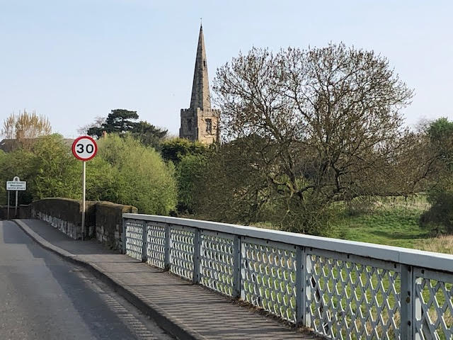
Starting from Garendon Park, this is a fine ride into Derbyshire via the
Staunton Harold Estate and Ticknall in the National Forest. We have to go back 1400 years to find Repton
occuping its exceptional place in history within the
kingdom of Mercia. The town was an important seat of power within Mercia a kingdom covering the Midllands and East Anglia, only rivaled by Saxon Wessex.
King Æthelbald is buried there.
It was later identified by the Vikings as an important camp, possibly because it was the last place they navigate down the river Trent.
This is known as the Great Danish Heathen Army. Christianity had not reached Scandanavia. The church is dedicated to a local saint, St Wystan.
There are fine buildings and public school in the town, know for choosing soccer over rugby.
On leaving I took the lanes along beside the Trent to
Swarkestone.
Its famous bridge and causeway is said to be over a kilometre long. The Trent is not a wide river at this point but lies in wide flood plain.
Bridges are plentiful. From just north of Swarkestone, along the river basin, the NCR6 cyclepath following the old railway track to Tonge and home.
|
|
To Bosworth Battlefield
Loughborough > Anstey > Ratby > Botcheston > Merry Lees > Newbold Heath > Market Bosworth >
Ambion Hill > Shenton Station > Shakerstone > Odstone > Battram Wood > Stanton Under Bardon > Loughborough
|
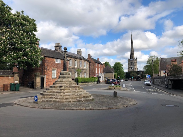
Market Bosworth is a pleasant country town with a country park adjoining it.
The town gave its name to one of the most significant battles in English history.
The battle took place about four miles to the south.
The visitor centre is easily reached via a gated road to Sutton Cheney and on to Ambion Hill which was thought to be
the site of the battle itself.
The fact that it was actualy fought on marsh land further south near Dadlington has added interest (and canon balls) to the story.
So, I reached Market Bosworth within a couple of hours using pleasant country lanes and took the gated lane to Ambion Hill.
The battle was fought on 22nd August 1485 and diplaced the dominant royal line with the Tudor line at a time of great cultural change.
Hence it is described as a watershed in history. Its well worth visiting the
Heritage Visitor Centre on Ambion Hill and the
King Richard III visitor centre next to Leicester Cathedral where
Richard III of York is now interred.
The Battlefield Visitor site maintains a wide path to the true battle site and to Shenton
Heritage railway station on the National Cycle route 52. This route is a fantastic ride, on the flat
bisecting with 63 which took me on unsurfaced rides through Grange and Battram Woods and eventually to Stanton under Bardon.
|
|
To Tilton and High Leicestershire
Loughborough > Syston > Beeby > Hungarton > Tilton on the Hill > Whatborough > Owston > John O'Gaunt >
Twyford > Ashby Folville > Gaddesby > Rearsby > Thrussington > Seagrave > Barrow upon Soar > Loughborough
|
Tilton on the Hill is one of the highest points in rolling
High Leicestershire .
At 219m it is not the highest peak in the county that belongs to Bardon in Pre-Cambrian Charnwood (278m). High Leicestershire is charactarised by
a high concentration of woodland, parkland areas with narrow gated roads and
a rural area with a mix of arable farming on lowlands and pasture on hillsides,
and steep undulating hills. This could make for a tough Stage.
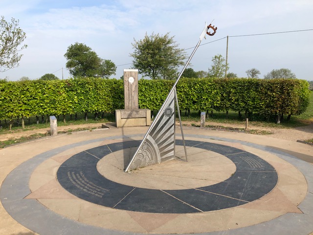
On reaching Tilton-on the Hill, there is a deserted medieval village at
Whatborough OS Grid Ref: SK 77152 05861. In 1495 the Augustinian Priory at Launde 'enclosed' Whatborough parish and turned it over to pasture land, thus
bringing about its depopulation. Less than 50 years later the Priory was closed by Henrry VIII and given to Thomas Cromwell for his son Gregory.
It was then ironically renamed Launde Abbey, presumably the fashion of the time.
So, leaving on the Halstead the before reaching the site of the deserted vilage I passed the
Tilton railway cutting,
a geological treasure trove, on the right. There is little if anything to see of the deserted village, but Whatborough Hil is the highest point at 230m.
This contrasts with Beacon Hill at 248m and Bardon at 278 but height isn't everything because the landscape and geology are rather different.
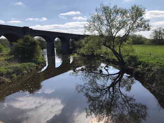
Returning via John O'Gaunt, after passing under the railway bridge and approaching the wonderful
railway viaduct comes into view on the right.
The disused line was a joint enterprise in 1879 between Great Northern and London & Northwestern railways.
|
|
The Vale of Belvoir
Loughborough > Wymeswold > Nether Broughton > Long Clawson > Hose > Harby >
Belvoir Castle > Eastwell > Six Hills > Barrow upon Soar > Loughborough
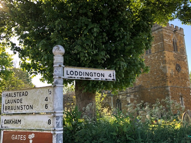
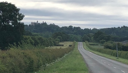
Belvoir Castle sits at the end of an escarpment of more than 10 miles
overlooking the famous Vale of Belvoir (pronounced Beever).
The Castle is the seat of the Duke and Duchess of Rutland and is quite modern as castles go.
The sort of place where you would expect to take children to see falconry and jousting on a bank hoiday. It may be best pictured from the east, Lincolnshire side, but
cyclists know it from the mile long drive (pictured) which ends with a very sharp climb to the tea shop.
The Duchess, Emma Manners, takes a leading role in the business of running the visitor attraction and retail at Engine Yard.
It is a good tea stop and the website is worth checking out.
The Duke, whose father was Leader of Leics County Council for several years, is famous for promising to lie down in front
of any bulldozer building a coalmine in the Vale in the 70's. The mine was built, but at Asforby not the Vale, and miners were bussed in from Coalville
over its short period of use. The best places on the route are Long Clawson, famous for its Stilton cheese and tea shop and Eastwell which looks down on Long Clawson
and the Vale. That is if you haven't seen it all from the Castle. I took the long straight 'salt road' back via Barrow upon Soar.
|
|
Go to Top
Three City Stages & a final Stage
Leicester City Stage
Loughborough > Quorn > Thurcaston > Ashton Green > Clock Tower > Market > Cathederal > > Abbey Park >
Watermead Park > Barrow upon Soar > Loughborough
|
I took the high road there and the low road back. Apart from the odd trip to the Phoenix Cinema or John Lewis,
I had not been to Leicester for a while and I was keen to see how it had changed.
Leicester used to be known for hosiery (socks) and knitwear on account of the sheep farming and plentiful wool. Later it was also shoes.
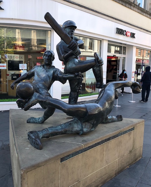
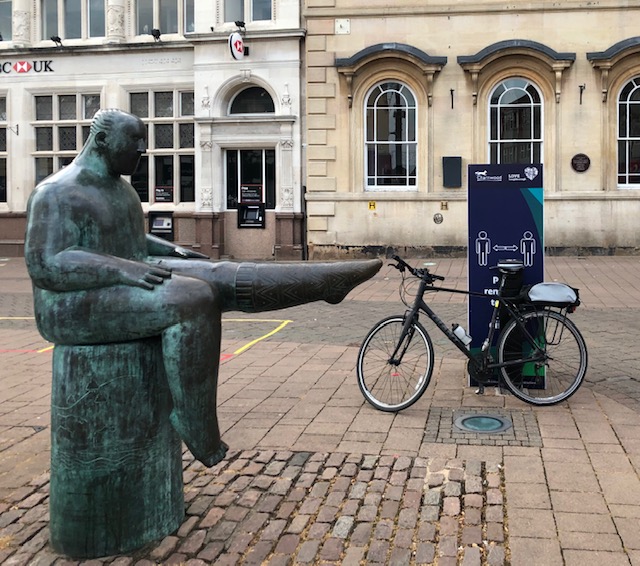
The Clocktower is still the central point, like Loughborough's Sockman!
There is more space around the Market and the Fish Market has been turned into retail units, but still kept its exterior.
The area surrounding the small Cathedral is now smarter with lots of heritage references. The Guildhall and Richard III and museums
all add to the interest.
Before leaving I cycled up New Walk (not normally allowed) to my old address on Regent Road, and then returned to the city centre.
I then found the easier route to Abbey Park and then the Space Discovery Park emerging from Watermead Park near King Lear's Lake
That cycle way passes by Thurmaston and near Syston before emerging at Cossington.
|
|
Derby City Stage
Loughborough > Shepshed > Belton > Breedon-on-the-hill > Melbourne > Swarkestone > Derby City Centre >
National Cycle Route 6 to Tonge > Diseworth > Long Whatton > Loughborough
|
I arrived via the half mile long historic causeway which crosses the Trent flood plain from Stanton-by-Bridge to
Swarkestone. Then taking the continual five mile cycleway from there into the City Centre, ultimately along the river Derwent.
Derby has improved more than its neighbours in the last fifty years. The riverside walks and cycleway provide a great approach to the city centre.
Although the Assembly Rooms are not yet refurbished after a fire, there are some grand buildings lining the river.
The War Memorial is notable and appealing; it is not a statue of a soldier but of a mother protecting a child.
Most of the extensive shopping centre is pedestrianised, though like other towns there are many vacant units.
The loss of work at Rolls Royce will have severe repurcussions for Derby which, above all, is a manufacturing and engineering city.
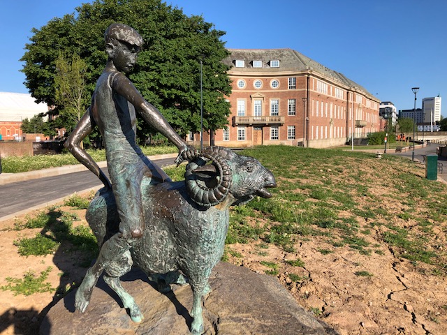
Besides Derbyshire County Cricket Club, the people of Derby have a deep loyalty for the 'Rams' Derby County Football Club.
The football stadium, which is aptly named Pride Park,
pulls a bigger crowd than many Championship and Premier League teams.
I left the city on the same cycleway in arrived on but this time took it the full distance to Tonge in Leicestershire,
cycling smoothly along the old railway path.
|
|
Nottingham City Stage
Loughborough > Normanton on Soar > West Leake > Gotham > Wilford > Nottingham Castle > Wilford > Ruddington >
Bradmore > Wysall > Wymeswold > Loughborough
|
There is no escaping that Nottingham is our regional capital and there is plenty of construction going on including a new 'intu'
Broadmarsh shopping centre. I arrived by a new route for me through the hamlet of West Leake, the village of Gotham (pronounced goat-ham)
and ultimately at the Clifton tram terminus.
The joy of cycling is not just the places and countryside in between but also when a cycle route leads you straight into the city centre
on a dedicated and tranquil route. The village of Wilford provides just that as does the cycle/tram bridge over the Trent and tree lined walk to the train station.
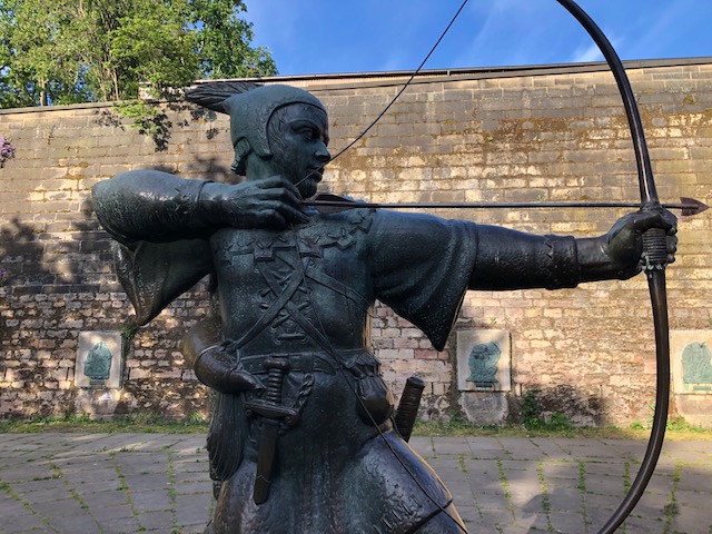
Since I know Nottingham well I decided to make a single stop at the Robin Hood statue outside the
Nottingham Castle walls.
The early hour and absence of tourists provided a chance to look at the tableau surrounding the statue. King Richard blessing the union of Robin and Maid Marion,
Robin and Little John fighting Guy of Guisboro (Friar Tuck was in there somewhere), and Robin shooting his final arrow.
I returned through Wilford and Ruddington, forcing me onto the busy A60 for a little less than a mile before picking up the quiet lanes home.
|
|
The Finale (Processional!)
Loughborough > East Leake > Costock > Wysall > Willoughby on the Wolds > Grimston > Saxelby >
Asfordby > Hoby > Thrussington > Cossington > Sileby > Mountsorrel > Quorn > Loughborough
|
So this is the last ride of my Tour - a processional perhaps, but not exactly riding down the Champs Elysees.
It took in a few new lanes and visited a couple of villages for the first time in Grimston and Saxelby.
In future I'll be able to ride with others and take longer stops in the lovely tea shops along the
way.
Thanks particularly to the Loughborough Wednesday Cyclists
for their fantastic reports which gave me new routes to follow. I don't use the latest routing and timing apps,
I'm just a fair weather tourer after all. I do have some great cycling tours behind me in England of course, but also Poland, Belgium, Brittany, Normandy, Languedoc and Provence. I am also a
campaigner for better and safer cycling infrastructure in Leicestershire and a founder member of
Loughborough & District Cycle Users Campaign
|
|
Go to Top
Max Hunt, June 2020
|

